

Erin is the fifth named storm of the Atlantic hurricane season, which runs from June 1 to November 30.
The storm was 330 miles (530km) southeast of Grand Turk Island with maximum sustained winds of 125 mph (205 kph), the NHC stated early on Sunday.
Erin had been classified as a catastrophic Category 5 with maximum sustained winds of 160 mph (240 kph), then downgraded to a Category 4. It was earlier expected to strengthen into this week.
On Sunday, Erin was moving west-northwest at nearly 14 mph (22 kph) with a decrease in forward speed expected on Sunday and a turn to the north on Monday and Tuesday, the NHC reported.
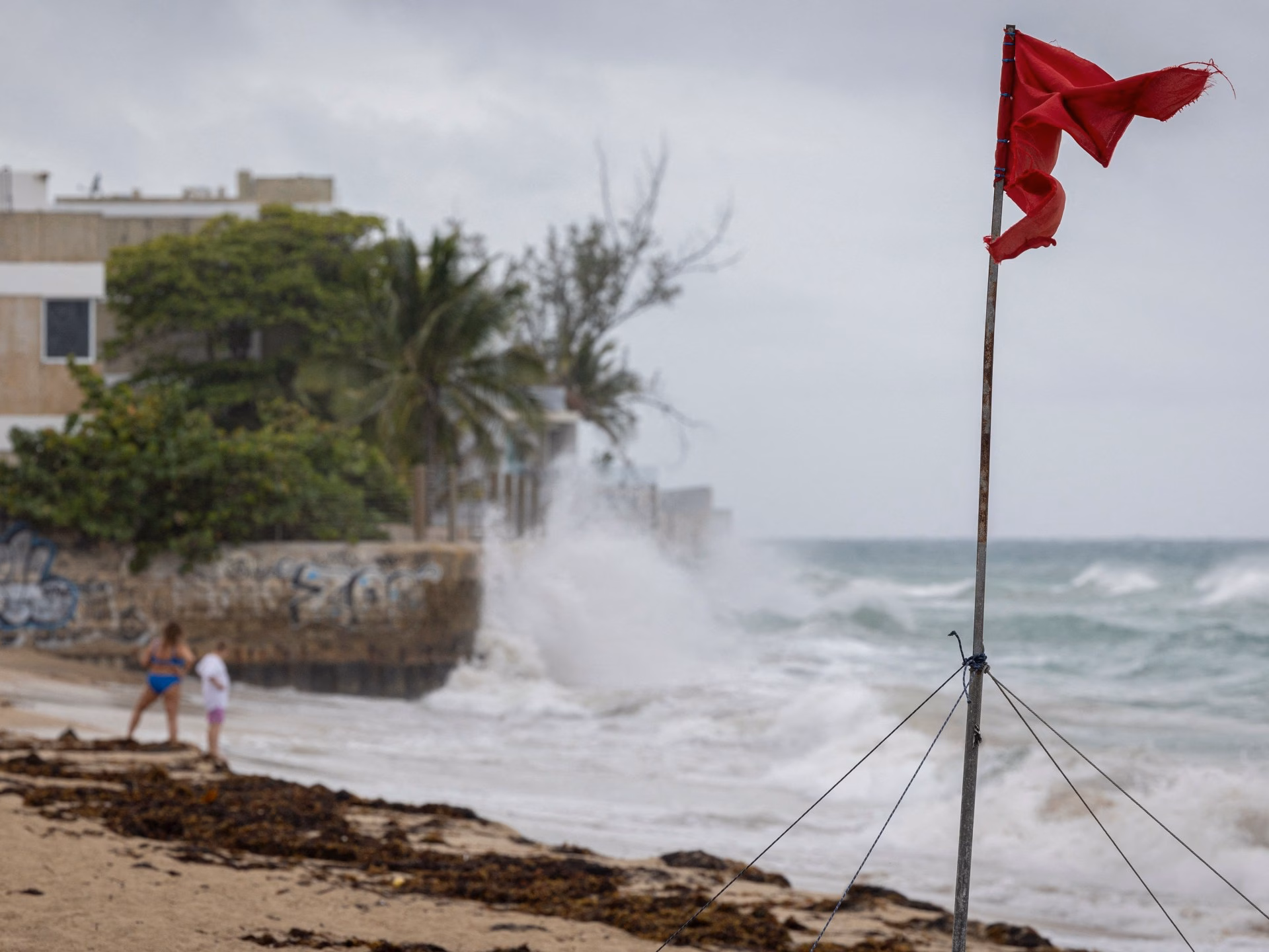
Swells generated by Erin will continue to impact parts of the northern Leeward Islands, the Virgin Islands, Puerto Rico, Hispaniola, and the Turks and Caicos Islands for the next couple of days. These swells will spread to the Bahamas, Bermuda, the east coast of the United States, and Atlantic Canada during the early and middle portions of the week.
Rough ocean conditions will likely result in life-threatening surf and rip currents, the NHC added.
The Bahamas, which provides meteorological services for the Turks and Caicos Islands, has issued a Tropical Storm Watch for the British islands to its southeast.

Erin has also raised concerns about wildfire risks, if human-caused sparks ignite parched vegetation and strong dry winds fan the flames. BMS Group Senior Meteorologist Andrew Siffert mentioned these conditions could occur if Erin develops into a powerful offshore storm due to the collision of warm and cold air instead of tropical seas.
The US government has deployed over 200 employees from the Federal Emergency Management Agency and other agencies as a precaution. Puerto Rico Housing Secretary Ciary Perez Pena stated that 367 shelters were inspected and ready to open if required.
Officials in the Bahamas are also preparing shelters and urging individuals to monitor the storm’s progress.
Erin is the fifth named storm of the Atlantic hurricane season, which runs from June 1 to November 30 and is expected to be unusually busy. Six to 10 hurricanes are predicted for the season, including three to five reaching major status with winds of more than 177km/h (110mph).
Scientists have linked the rapid intensification of hurricanes in the Atlantic to climate change. Global warming is causing the atmosphere to retain more water vapor and is increasing ocean temperatures, and warmer waters provide hurricanes with fuel to unleash more rain and strengthen more quickly.
Storms that intensify rapidly complicate forecasting and make it challenging for government agencies to prepare for emergencies.