


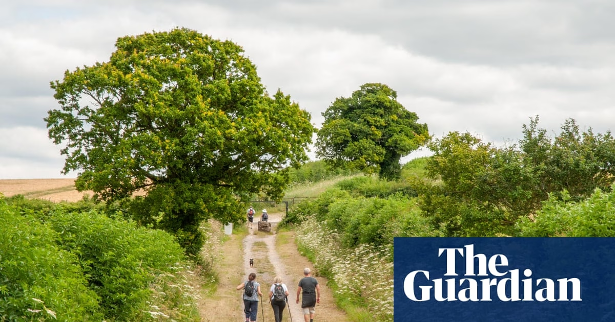
For the first time, England’s non-woodland trees have been successfully mapped using advanced methods of laser detection and satellite imagery. The comprehensive mapping effort, carried out by tree specialists at the Forest Research agency in the UK, provides an in-depth look at the trees in both urban and rural areas. The map is set to be launched on Saturday.
This groundbreaking map will serve as a valuable resource for conservation groups and local authorities. It will allow them to precisely target their tree planting efforts by identifying isolated trees that can be connected to nearby wooded areas. By doing so, they can enhance habitats for wildlife and contribute to the government’s legally binding goal of increasing England’s woodland canopy to 16.5% of its total land area by 2050.
Mary Creagh, the forestry minister, emphasized the importance of street trees, stating that they improve air quality, bring joy, and provide shade. She added that this new tree census will not only help in understanding the current extent of tree canopy cover in England but also identify areas where nature-rich habitats can be created for the benefit of wildlife and the enjoyment of people.
Sir William Worsley, the chair of the Forestry Commission, highlighted the hard work of the team involved in mapping the trees and emphasized the significance of the results. The map addresses critical data gaps regarding the nation’s tree assets, allowing for informed decisions about management and protection of trees.
Freddie Hunter, the head of remote sensing at Forest Research, expressed excitement about this achievement. By utilizing the latest technology, they were able to capture comprehensive images of all tree cover across England. The map will play a vital role in guiding future tree planting efforts.
According to Defra, single trees account for 30% of England’s tree cover and play a crucial role in carbon storage, temperature regulation, and mitigating the impacts of climate change. These trees also contribute to improved health and wellbeing in urban areas by reducing air pollution and enhancing nature.
The map, which is automated and can be updated regularly, was funded by Defra’s natural capital and ecosystem assessment (NCEA) program. It is part of broader government initiatives to expand woodlands, such as the creation of a new national forest, increasing the use of timber in construction, and establishing a dedicated tree planting taskforce.
Source: https://www.theguardian.com/environment/2025/apr/05/england-urban-and-rural-trees-mapped-for-first-time-after-census