


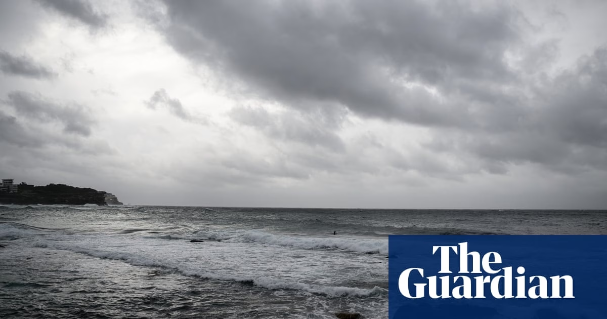
Destructive winds and heavy rainfall are sweeping across large parts of the New South Wales coastline, with some areas already experiencing over 100mm of rain as a vigorous coastal low continues to intensify offshore. The system is slowly moving south and is expected to approach the NSW central coast later on Tuesday before moving back out into the Tasman Sea on Wednesday, according to the Bureau of Meteorology.
The NSW State Emergency Service has deployed personnel and equipment to areas likely to be affected, responding to over 600 incidents and around 1,000 calls to the state operations centre, with reports of debris, downed trees, and requests for sandbags and assistance with leaking roofs.
The bureau classifies this as a “vigorous coastal low,” different from an “east coast low” or “bomb cyclone,” though they share some characteristics. A severe weather warning is in effect for several areas in NSW, including the mid-north coast, metropolitan region, and northern tablelands, with the catchment soil still saturated from May floods being a concern for emergency services.
The system is expected to bring heavier rain and increased winds, with the possibility of gusts up to 125km/h. Destructive winds have already been recorded at Wattamolla south of Sydney, bringing down trees and threatening property and power supply. Coastal areas from Seal Rocks to Batemans Bay, and surf conditions, may result in erosion and flooding, and there is a warning about the risks of driving in these conditions, as vehicles can be easily swept away.
Heavy rainfall and the possibility of riverine flooding, ranging from minor to moderate, are associated with this event, affecting various catchments and leading to a call from authorities to stay away from floodwaters. Dam capacities are being monitored, with Warragamba Dam expected to spill based on forecasts. Transport disruptions and the potential for flight schedule changes at Sydney airport due to the weather are also concerns.
The SES urges the public to prepare and stay indoors as the conditions worsen, with the weather expected to shift further south by Wednesday, affecting areas from the mid-north coast to the Victorian border, although the heaviest rainfalls are predicted to occur through the Illawarra and northern parts of the southern coastal district.
Source: https://www.theguardian.com/environment/2025/jul/01/nsw-weather-warnings-forecast-coastal-low-rain-wind