


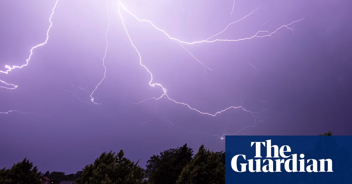
Severe thunderstorms hit France last Friday, resulting in one death and another person injured. There were two systems involved, leading to orange weather warnings, with one system coming from the west through Brittany and affecting the northern part of the country, and the second system arriving from Spain and impacting south-west France. Over 30,000 lightning strikes were recorded between midnight on Friday and early Saturday. Eure, located north of Paris, was the most affected area with 4,326 strikes. Strong winds were experienced in Normandy, where Rouen recorded a gust of 76mph (123km/h) surpassing the record set in 2019. Hailstorms affected several regions, causing damage to infrastructure and crops. Additional storms occurred over central and north-west France on Saturday night, with the largest hailstone measuring 85mm in Orly, Auvergne-Rhône-Alpes. The severe weather was caused by a phenomenon called “goutte froide” (cold drop), where an isolated cold pool in the upper atmosphere separates from the overall circulation, resulting in significant atmospheric instability. The “thalweg d’altitude” (upper-air trough) provided the necessary lift by promoting the ascent of air, while warm and moist air flowed into the trough and was forced upward, creating clouds that led to severe thunderstorms. The movement of air from all directions into the trough allowed supercells to form by introducing spin. Supercells are large-scale, highly organized storms with a rotating updraft that can sustain themselves for hours and travel long distances. A heat dome over the country also played a role in intensifying the storms by contributing to the temperature gradient between the surface and upper air levels and providing a source of moisture. A heat dome occurs when high pressure persists in a region, trapping warm air and leading to temperatures significantly above the seasonal average.
Source: https://www.theguardian.com/environment/2025/jun/16/weather-tracker-deadly-thunderstorms-lightning-france
Extreme Weather Updates: France Struggles to Recover from Fierce Thunderstorms and Lightning
You May Also Like


Trump Urges Immediate Withdrawal from Tehran – DW – 06/17/2025