
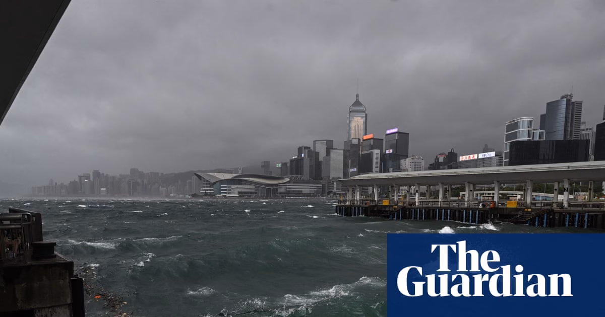
Hong Kong issued its highest tropical cyclone warning as Typhoon Wipha hit the city, leading to the cancellation of school classes and the grounding of hundreds of flights. The weather observatory in Hong Kong reported that Wipha was situated approximately 60 kilometers south-east of the city at 10am on Sunday. Large waves were observed along the eastern coast of Hong Kong Island.
The observatory issued a T10 hurricane alert, the highest warning level, indicating that winds with average speeds of 118 kilometers per hour or more were expected. These strong winds posed a significant threat to Hong Kong. It was mentioned that Wipha’s eyewall was affecting the southern part of the territory, causing destructive winds.
Additionally, China’s Hainan and Guangdong provinces were put on high alert according to Xinhua, the state news agency. Wipha, which had gained typhoon strength overnight, was heading towards Macau and the neighboring Chinese city of Zhuhai. The storm was forecast to make landfall late Sunday and continue moving west, reaching Vietnam later in the week.
At Hong Kong’s airport, about 500 flights were canceled due to the weather conditions, while approximately 400 flights were rescheduled to depart or arrive later. Hundreds of people sought refuge in government-run temporary shelters. One man required medical treatment at a public hospital’s emergency room, and there were more than a dozen reports of fallen trees.
Authorities suspended Sunday classes at all day schools and daycare centers. Local trains operated with limited services, and operations were suspended in open sections. Wipha brought heavy rains and flooding to the Philippines, resulting in two reported missing individuals, according to the country’s national disaster council.
Hong Kong had not used the T10 warning signal since Super Typhoon Saola in 2023.
Source: https://www.theguardian.com/world/2025/jul/20/typhoon-wipha-puts-hong-kong-on-highest-storm-alert