
New research has revealed that 80% of England’s peatlands are dry and in poor condition. Scientists used satellite imagery, artificial intelligence, and comprehensive data analysis to create the most detailed map of England’s peatlands and peaty soils to date, as announced by the Department for Environment, Food and Rural Affairs (Defra).
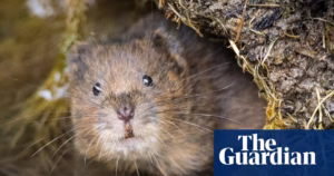
The map, now available on the government’s website, provides information on the extent, depth, and condition of England’s peat. It covers vegetation, gullies, and drains, whether natural or human-made. Healthy peatlands can help combat the climate crisis, reduce flood risk, improve water quality, and support rare wildlife species, such as the golden plover, curlews, and dragonflies. However, degraded peatlands contribute to carbon emissions and global warming.
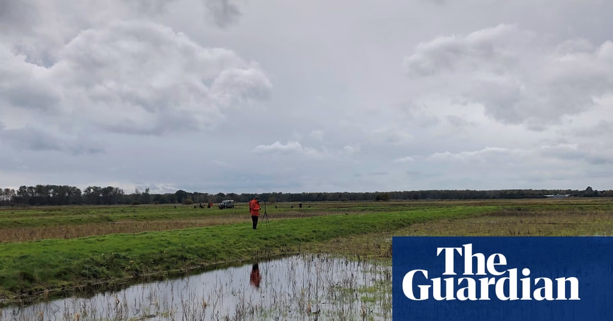
The map shows that peaty soil covers approximately 8.5% of England’s surface, with the most extensive peatland habitats found in the Pennines, North York Moors, the Lake District, and the south-west uplands. However, it was discovered that 80% of these peatlands are in a dry and deteriorated state.
Despite the majority of peatlands being covered by plants and land use types associated with dryer conditions, only 1% are covered by important peat-forming plants such as sphagnum moss. Dr. Sallie Bailey, chief scientist at Natural England, called the mapping of peat “a global first” due to its complexity and the challenges posed by underground peat that changes in volume and can be treacherous to study.
The map aims to help maximize the benefits of peat by enabling better understanding of its role in a changing climate and aiding restoration efforts. Defra plans to use the map to calculate the amount of carbon stored in England’s peatlands and their emissions. Land managers and decision-makers hope to restore the peatlands by blocking drainage channels, rewetting the land, and balancing biodiversity and carbon storage with food security.
Natural England’s Chair, Tony Juniper, acknowledged the importance of healthy peatlands in carbon storage, water cycles, and support for rare plants and wildlife. He stated that the map will make better and more informed decisions possible when managing and restoring degraded peatlands. The National Trust’s lead for peatlands, Caroline Thorogood, believes that the map’s data will help accelerate efforts to recover England’s precious peatlands and provide benefits such as carbon storage and water regulation.
Source: https://www.theguardian.com/environment/2025/may/12/eighty-percent-of-englands-peatlands-are-dry-and-degraded-mapping-shows